Cody Rock and Ice Climbing
- Rock Climb
- Ice Climb
South Fork Shoshoni River Ice Climbing
My South Fork Ice Ticklist
- Broken Hearts WI 3+ - December 2013
- Stringer WI 3 - December 2013
West Fork Shoshoni River Rock Climbing
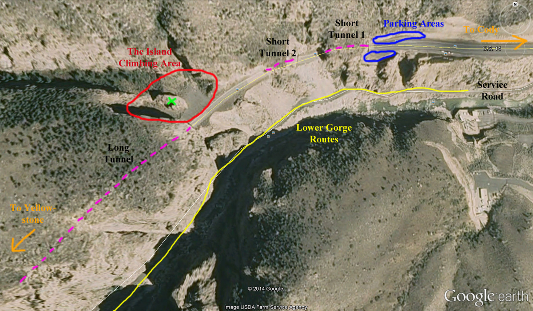
There is a bunch of cragging opportunities just west of Cody along the road heading towards Yellowstone. Notable area include the Bridge Bands which are made of white limestone and offer many challenging single pitch sport routes and a few trad lines. It's a 15 minute hike from the parking area and this area always sees sun, so on mild winter days it is comfortable to climb here. The Island is an area situated between the first two short tunnels, and the long one right next to the highway. You must park off the road before reaching the first tunnel though, and walk the road through the first two short tunnels, then the climbing area will be to the right. Many sport lines on solid granite. There is also a couple nice trad routes. All single pitch with the exception of a couple routes that top out well above the tunnel.
The lower gorge (to the left of The Island) has many sport and trad lines and is accessible either from parking at the gate on the service road and walking the road right alongside the river, or paring as per The Island and hiking/rappelling down towards the river and meeting the same service road. Consult Sunlight Sports in downtown Cody for guidebooks, photos and beta for these climbing areas. I'll simply show some photos and some overview maps to show what the area looks like.
|
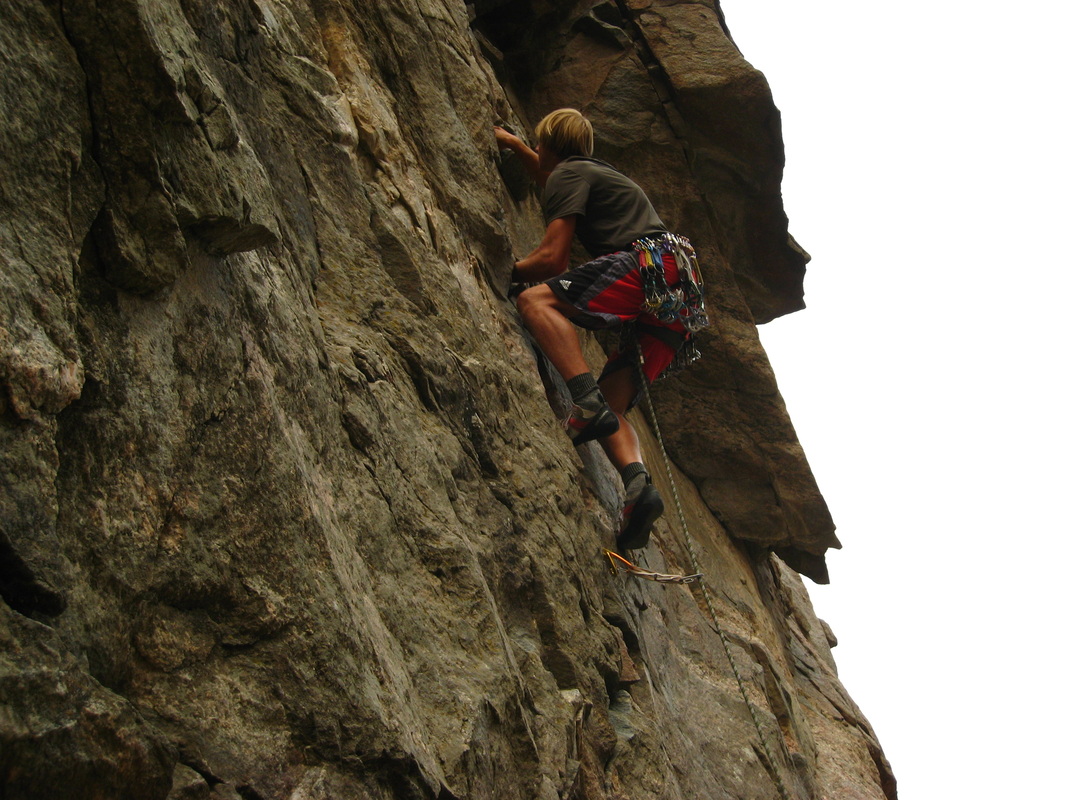
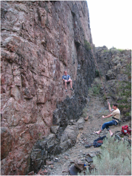
Myself climbing Bruce's Crack (5.7). This is the only good trad line in The Island
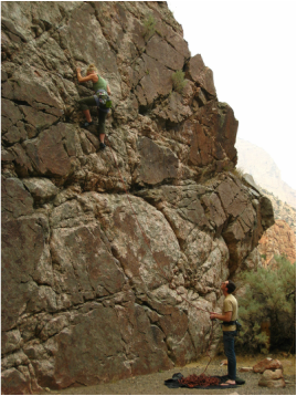
Shawna climbing one the the many 5.8 sport lines on the south wall of the Island
|
Looking up Bruce's Crack. The overhang is the crux. Bolts at the top
Myself on a 5.10a on the north wall (attached to the long tunnel)
|
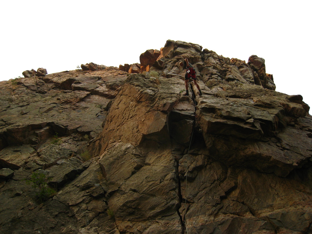
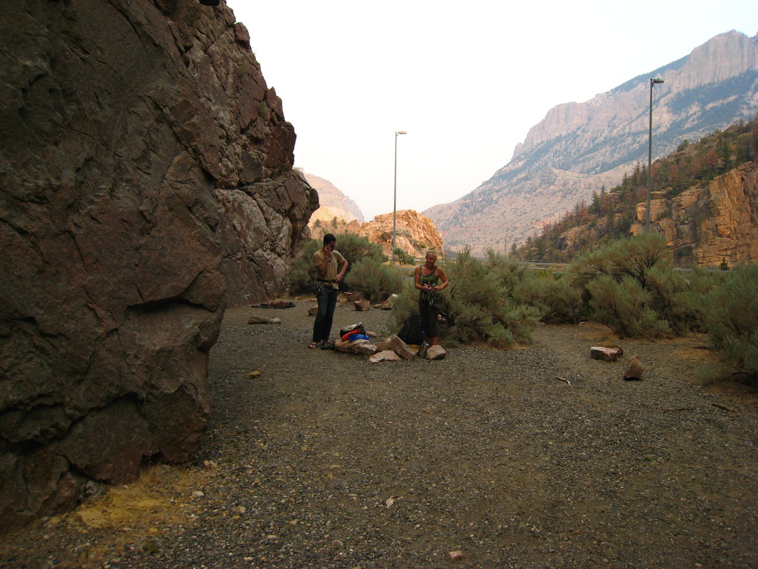
Looking towards the highway (notice the street lights). The south wall is on the left
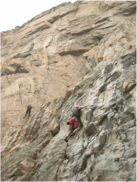
Kevin and Mike messing around on Pea Green Limousine (5.10b)
|
See These Links for more Information about the Rock Climbing up the West Fork Road (US Highway 14)
-
{{#owner}}
-
{{#url}}
{{#avatarSrc}}
{{name}} {{/url}} {{^url}} {{#avatar}} {{& avatar}} {{/avatar}} {{name}} {{/url}} - {{/owner}} {{#created}}
- {{created}} {{/created}}